


New Global Mapper subscription brings geospatial tools together as Blue Marble builds deeper connections between drone data, desktop analysis and field operations
For drone mapping professionals, collecting data is only one part of the job.
Drone imagery and lidar must be processed, positioned, analyzed and turned into information people can use. In many cases, that information then needs to move back into the field.
Blue Marble Geographics is working to connect those steps.
The company has introduced a new Global Mapper subscription offering that combines several previously separate applications and services. Available in Essentials, Advanced and Professional tiers, the offering brings Global Mapper together with additional Blue Marble and Avenza capabilities under a single subscription and administrative system.
The announcement goes beyond a change in software licensing. It marks another step in Blue Marble’s strategy to build a connected geospatial workflow following its combination with Avenza Systems earlier this year.
“It’s the realization of our vision around office-to-field and field-to-office capability,” Eric Bogard, Vice President of Marketing at Blue Marble Geographics, told DRONELIFE. “With Avenza connectivity, it’s about that end-to-end workflow.”
Building on the Avenza Combination
Blue Marble and Avenza announced their combination in April 2026, bringing together technologies that address different stages of geospatial work.
Global Mapper supports spatial data processing and analysis, including lidar and photogrammetry. Geographic Calculator provides advanced coordinate transformation capabilities. Avenza Maps supports mobile mapping, offline navigation and field data collection.
The new subscription consolidates more of the office side of that workflow. Advanced and Professional subscriptions incorporate Geographic Calculator and MAPublisher capabilities alongside Global Mapper.
“Consolidating the office workflow into one subscription and managing it through one administrative portal reduces the complexity of how practitioners access, manage, and use the tools they rely on,” said Patrick Stevenson, Chief Product Officer of Blue Marble Geographics. “Our focus is on making those workflows simpler without sacrificing the precision or capability professionals depend on, and then extending that experience more seamlessly between the office and field.”
What the New Offering Includes
Blue Marble is offering three subscription levels for different users and workflows.
Essentials focuses on core data viewing, conversion and coordinate transformation. Advanced adds capabilities including terrain and vector analysis, advanced geodetic analysis and professional map production. Professional adds lidar and point-cloud processing, drone photogrammetry, imagery analysis and AI/ML tools.
The Professional tier is particularly relevant to drone mapping. Global Mapper’s photogrammetry tools can turn drone imagery into point clouds, orthoimagery and textured 3D models. Other capabilities support lidar processing, terrain analysis, multispectral imagery and raster analysis.
Blue Marble says more than eight new Global Mapper features are available exclusively through subscription, including lidar and point-cloud capabilities, photogrammetry enhancements and AI tooling.
The subscription also introduces the Blue Marble Hub. The centralized portal handles license management, seat assignments, downloads, support and training.
For organizations with multiple geospatial users, the system allows administrators to manage software and capabilities from one place.
Drones as Part of the Geospatial Workflow
The strategy reflects a broader shift in commercial drone mapping.
At INTERGEO 2026 in Munich, Bogard told DRONELIFE that drones increasingly fit into a larger geospatial process rather than standing apart as a separate technology.
“Drones are a way to accelerate data collection and provide additional inputs for downstream products,” Bogard said. “It’s about the job to be done. Drones are one of many tools in the toolbox.”
That distinction helps explain the significance of the new offering.
Drone imagery may enter Global Mapper alongside lidar, satellite imagery, ground survey data or other spatial information. Users can then process and analyze those datasets and turn them into maps or other products for decision-making and field use.
Practical applications already illustrate that progression. Law enforcement agencies can use drone imagery to create orthomosaics, point clouds and 3D models for crash investigation. Engineering teams can combine drone photogrammetry with terrain and watershed analysis for infrastructure planning.
In each case, the drone provides data. The larger value comes from integrating that data into the rest of the geospatial workflow.
Connecting Office and Field
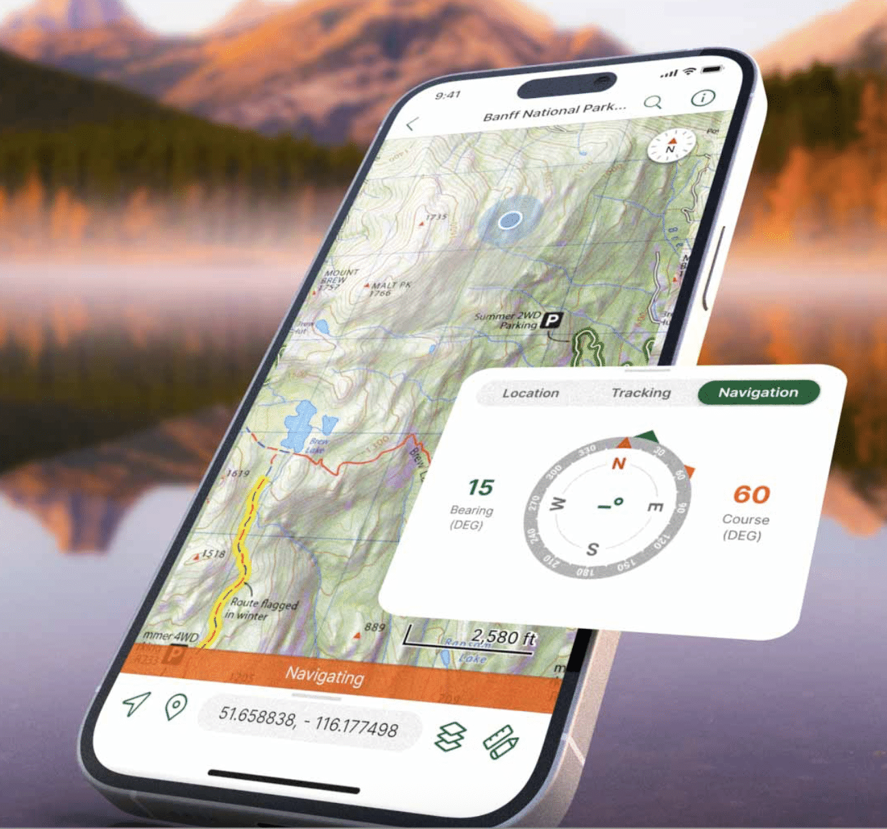
Avenza Maps provides the field component of Blue Marble’s strategy, supporting offline mapping, navigation and location-based data collection.
The September announcement does not yet represent full technical integration between Global Mapper and Avenza Maps. Instead, it consolidates much of the office workflow while laying the groundwork for deeper connections with the field. Blue Marble says forthcoming updates will improve data sharing across devices and environments.
“Geospatial professionals increasingly work across environments, but the technology supporting them has often remained fragmented,” said Jeremy Parker, CEO of Blue Marble Geographics. “Our strategy is to remove those boundaries by bringing together the capabilities, expertise, and products of Blue Marble and Avenza around a common vision. Global Mapper subscription is another step in that evolution, as we build a company and platform designed around the full scope of how our customers work.”
For drone professionals, that strategy reflects the evolution of mapping itself. The aircraft collects the data, but the workflow continues through processing, analysis and delivery, and often back into the field.
Blue Marble’s new Global Mapper offering brings more of those steps together. Its continuing integration with Avenza points toward the next stage: a more direct connection between what happens in the field and what happens in the office.
Read more:

Miriam McNabb is the Editor-in-Chief of DRONELIFE and CEO of JobForDrones, a professional drone services marketplace, and a fascinated observer of the emerging drone industry and the regulatory environment for drones. Miriam has penned over 3,000 articles focused on the commercial drone space and is an international speaker and recognized figure in the industry. Miriam has a degree from the University of Chicago and over 20 years of experience in high tech sales and marketing for new technologies.
For drone industry consulting or writing, Email Miriam.
TWITTER:@spaldingbarker
Subscribe to DroneLife here.
