


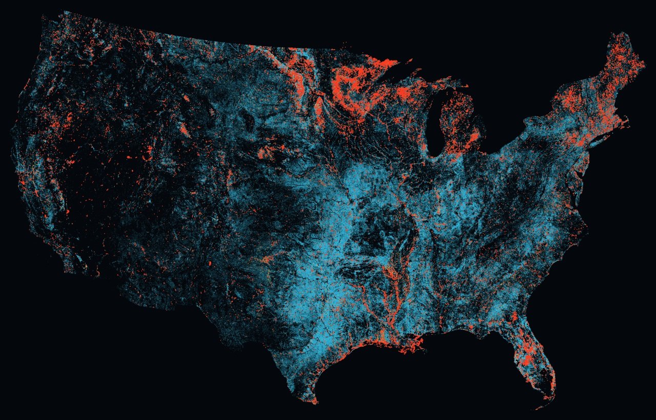
As part of multi project study examining aircraft fleet requirements and the most effective way to base those assets, TracPlus has been studying the problem and has written a software that uses data from the US Geological Survey’s surface water map shows around 5.7 million bodies of water and then measures each one for size, shape length and width to determine if it could be used as a reload point as well as what aircraft types could use each source.
The result is that in the order of 3.6 million bodies of water are suitable for helicopters a number that falls to 57,000 for scooper fixed wing assets like the CL415 or Fire Boss, furthermore, the distribution of “scooper capable” bodies of water were concentrated in the northern states as well as the reservoir heavy west.
Critically, the results cannot be taken as an approval to use a given since the programme only looks at the shape of the water as it is mapped. It does not assess depth, current water level, obstacles, access, or whether a body is approved for use. A positive result in the analysis should be regarded as a possible subject to survey rather than a green light for operations. Which says TracPlus will help when making decisions about where to bace aircraft. Since the baseline data is in entirely lodged in the public domain TracPlus is sharing the data and the paper as widely as possible.
Image: TracPlus
