


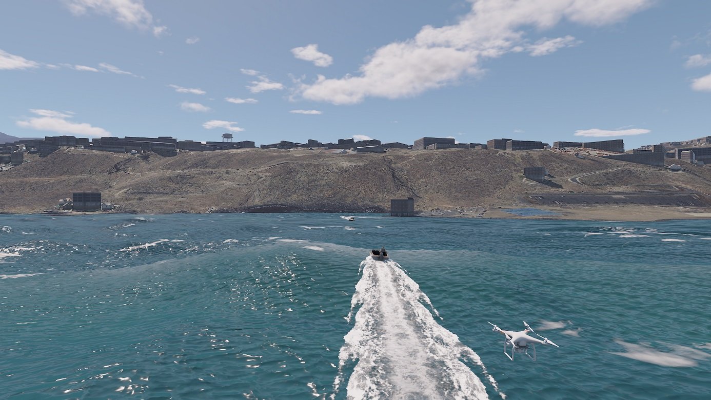
Entrol, the manufacturer of EASA- and FAA-certified FNPT, FTD, and FFS flight simulators, has unveiled the latest operational advancements in ENVISION, its proprietary visual system developed on Unreal Engine 5.
Features include urban environments tailored for law enforcement operations and real-time procedural terrain generation designed to maximise immersion.
The company says these strategic enhancements address the growing demand from police air units and flight academies for high-fidelity, cost-effective tactical training devices capable of simulating complex law enforcement missions without exposing crews or real aircraft to operational risks.
A spokesperson said: “By developing its own Image Generator on Unreal Engine, Entrol maintains complete technological independence, allowing agile software iterations, feature expansion, and bug resolution without reliance on third-party visual providers. Over recent years, Entrol has successfully transitioned developmental concepts from 2022 into active operational capabilities, including police pursuit management and native Night Vision Goggles (NVG) compatibility.”
To optimise spatial awareness across different flight regimes, the Law Enforcement database is structured into three operational zones: an Urban Zone (low-altitude flight with street-level detail), a Traffic Zone (mid-altitude operations on real road networks), and a Flight Zone (high-altitude navigation).
Key AI-driven operational features include:
- Autonomous traffic and dynamic crowds: real-road traffic density is fully adjustable (0–100%). Pedestrians and public gatherings react dynamically to weather (opening umbrellas) and armed threats (taking cover or fleeing).
- Tactical mission editor: instructors program multi-entity behaviours from the IOS (movement, pursuit, vehicle entry/exit, triggers, and scalable aggressiveness) to replicate complete pursuit and arrest cycles in real time with ground Exercises can be saved and instantly reloaded.
- Native optics and sensors: integrated FLIR with dual-screen options, volumetric searchlight, NVG support, and engine-simulated thermal camera modes (White Hot, Black Hot, Ironbow) adjusted for seasonal ambient temperatures – without extra hardware.
 Enhanced visual realism: structures are built using modular components linked to real-world land usage; foliage varies in height, orientation, and seasonal colour – including burnt textures following simulated wildfires; streetlights illuminate automatically at dusk, and wind turbine blades adjust rotation according to live wind vectors. Terrain elements render smoothly with distance, eliminating visual popping and ensuring absolute image consistency across all visual channels.
- Optimised architecture and performance: data loads dynamically by geographic sector, drastically reducing map loading times, improving frame rates, and minimising system memory overhead.
- IOS Mission Map: Powered by the identical Image Generator engine as the visual projection system. Entities placed on the instructor map mirror precisely in the crew’s visual field, complemented by 2D overhead maps and an exclusive 3D Unreal front-facing view featuring live trajectory paths and entity labels.
- Multi-entity perspective tracking: Instructors can immediately shift their view to any entity on the ground, observing the exercise directly from the perspective of the fleeing suspect or the pursuing ground officer.
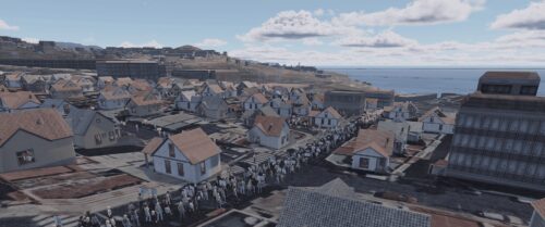 Enhanced visual realism: structures are built using modular components linked to real-world land usage; foliage varies in height, orientation, and seasonal colour – including burnt textures following simulated wildfires; streetlights illuminate automatically at dusk, and wind turbine blades adjust rotation according to live wind vectors. Terrain elements render smoothly with distance, eliminating visual popping and ensuring absolute image consistency across all visual channels.
The spokesperson added: “ENVISION eliminates the operational constraints of static, pre-rendered scenery. Buildings, forests, power lines, infrastructure obstacles, and urban lighting are procedurally rendered in real time from authentic geographical data as the aircraft navigates the airspace. This enables vast geographical coverage without requiring manual 3D modelling for every region, while fully preserving hand-crafted, high-precision zones such as certified airports and hospital helipads.”
Images: Entrol
